
BEYOND HORSESHOE BEND
The Grand Canyon Few Ever See
The Far East Rim of the Grand Canyon
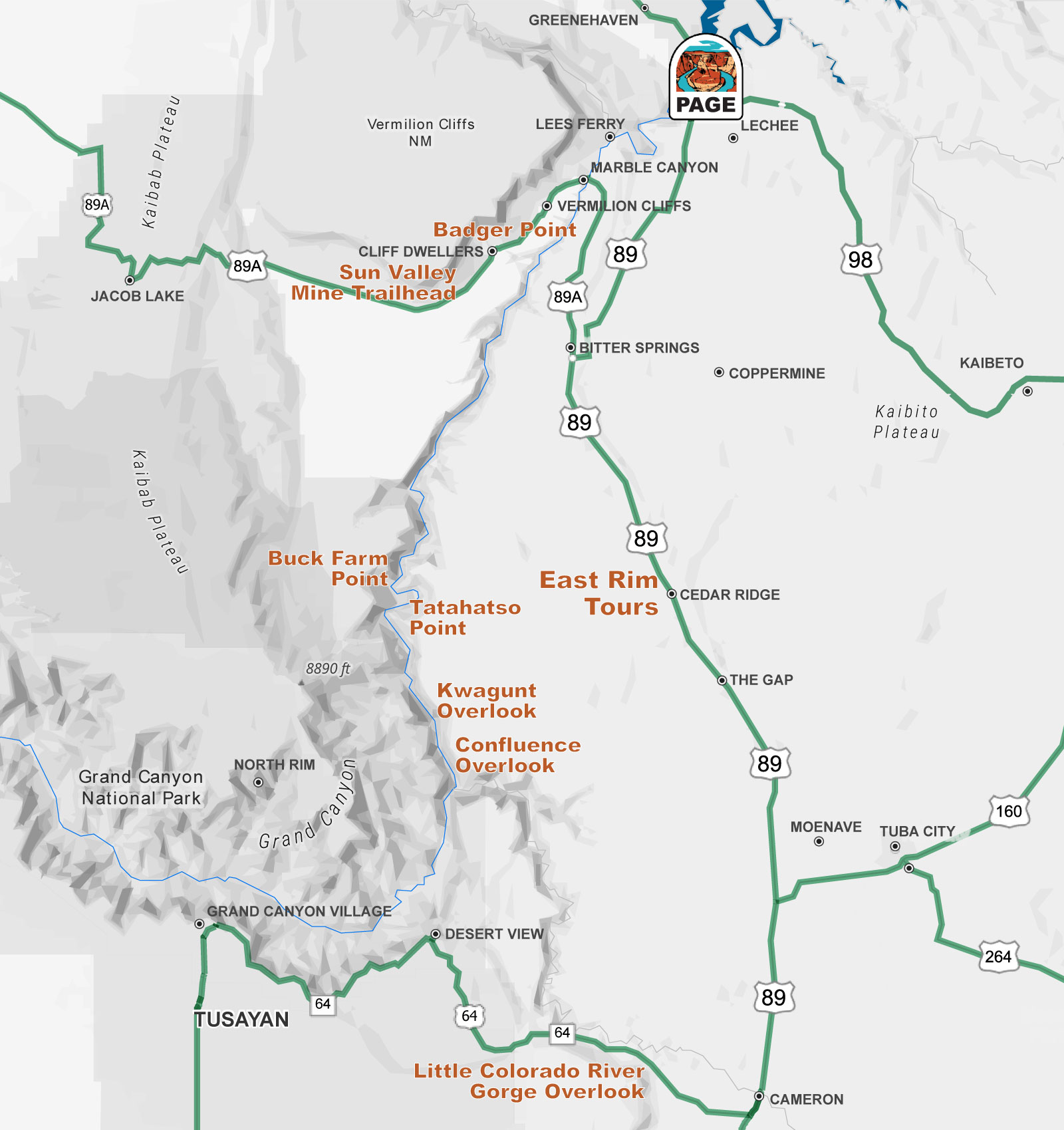
South and west of Page, the Colorado River cuts a 60 mile corridor that almost no one sees.
This is where the Grand Canyon begins. Marble Canyon runs from Lees Ferry down to the Little Colorado River, and the canyon proper starts at that junction. The rims here are unmarked and mostly unvisited. Some overlooks are on Navajo Nation land and are reached only with a Navajo guide. Others are on national forest and BLM land, open to anyone willing to make the drive. Page, Arizona is your perfect basecamp for exploring these unique and quiet locations.
Below is what is out here, where it is, and how to get to it.
West Side of the River
National forest and BLM land. Open to the public. All within about an hour of Page.
Everything on this side of the river runs off US 89A past Navajo Bridge, where the highway crosses 470 feet above the Colorado. The 1929 bridge next to it is now a pedestrian span and the only place in this corridor you can stand over Marble Canyon without leaving pavement. The interpretive center on the west end has restrooms, water and a bookstore, and California condors are regularly seen on the girders below. It is the last reliable stop before the viewpoints below.
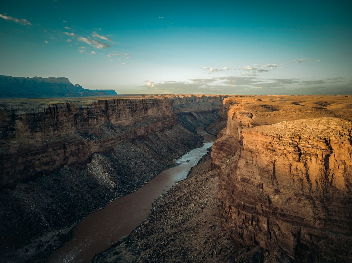
Badger Point
A gated primitive road leaves US 89A a few miles southwest of Navajo Bridge, and runs roughly two miles to the rim of Marble Canyon. The entrance to this road can be found directly across from Lee’s Ferry Lodge at Vermilion Cliffs. The site is BLM land, so there are no fee and no day-use permit required. High clearance recommended. The Vermilion Cliffs rise directly behind the viewpoint, and it is one of the better night sky locations in northern Arizona.
View on Map
Sun Valley Mine Trail
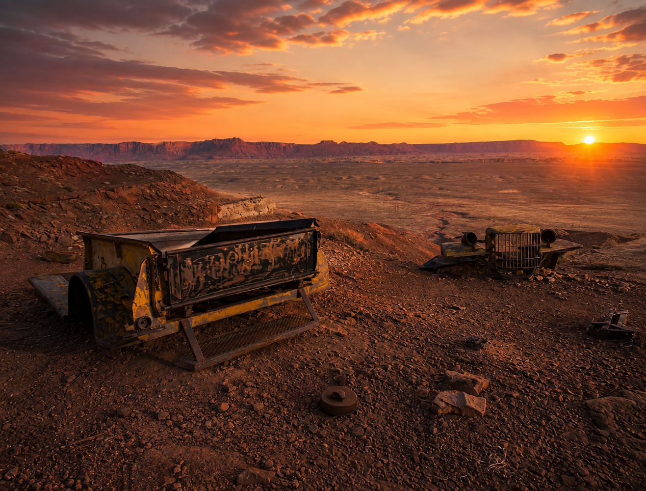
A 2.4 mile round trip with about 500 feet of climb, following an old mining road into the red rock at the base of the Vermilion Cliffs. The trail ends at the sealed openings of the Sun Valley Mine, also known as the Maggie Baker, a uranium claim developed in 1954 during the Colorado Plateau uranium boom. The view back takes in House Rock Valley, the Echo Cliffs and Marble Canyon. Dog friendly. Best October through May for cooler weather.
Buck Farm Viewpoint
The most remote drive on this page and the biggest payoff. Buck Farm is on the east rim of the Kaibab Plateau in Kaibab National Forest, reached by about 28 miles of forest road off US 89A through the House Rock Valley Buffalo Range. From the end of Forest Road 445H, a walk of roughly 100 yards brings you to the edge, looking directly down into Marble Canyon and the Colorado River, with the Vermilion Cliffs north and Navajo Mountain on the eastern horizon. No fee and no facilities. Forest Road 8910 is safe for passenger cars in dry weather; the final three miles on FR 445H require high clearance.
East Side of the River
Navajo Nation land. Guided access only with Permitted Navajo tour company. Tours typically depart from the Cedar Ridge area on US 89, about 40 minutes south of Page. Please check with your tour company to confirm all details.
These three overlooks are on Navajo Nation land where families have lived and grazed for generations. Since 2018 the Navajo Nation has not issued self-guided permits for this area, and access is through licensed Navajo tour operators. You are likely to not encounter any other visitors while at these sites. They are extremely unique and special locations.
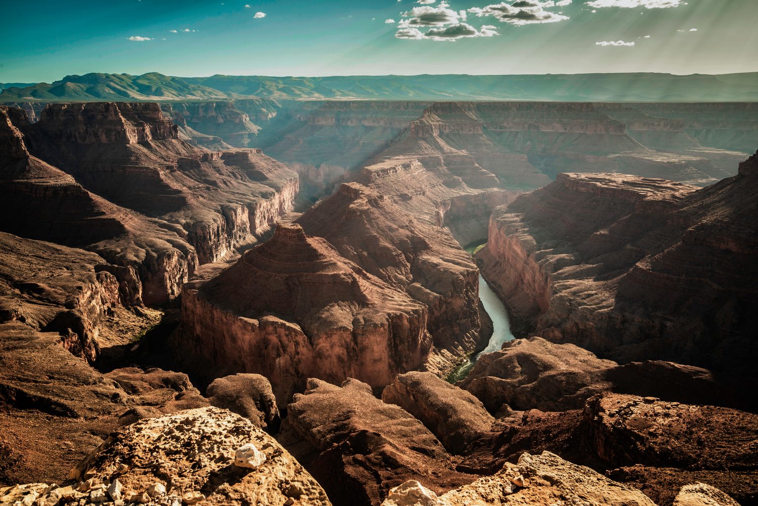
Tatahatso Point
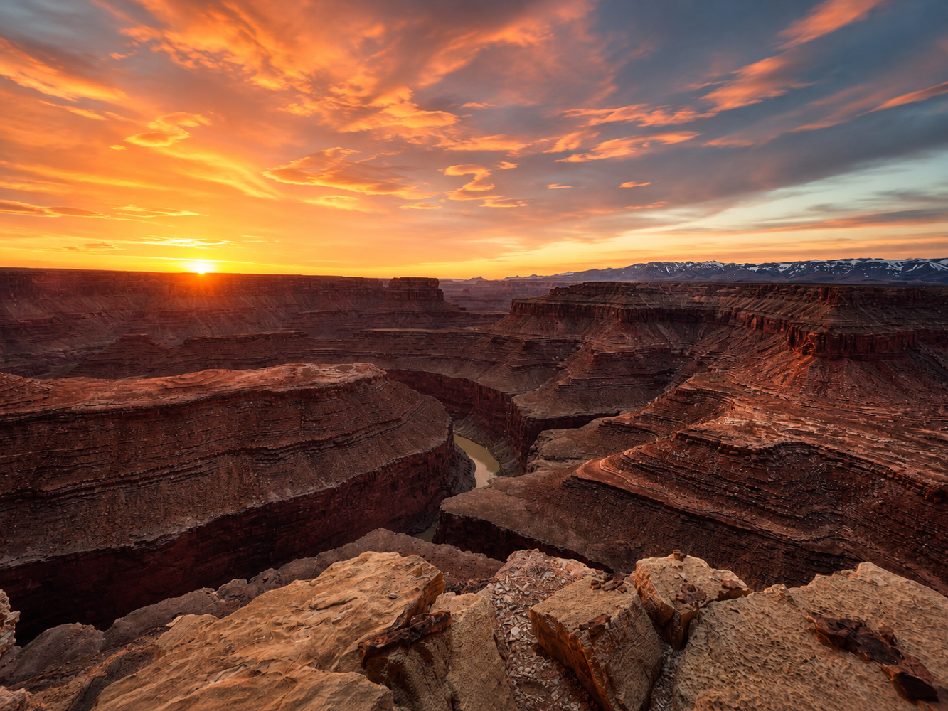
This is the other Horseshoe Bend that practically no one ever gets to see. Here the Colorado swings a full 180 degrees around Point Hansbrough and doubles back on itself, cutting a meander roughly twice as deep as Horseshoe Bend. President Harding Rapid runs below. The Navajo name means, approximately, “the edge or top of it is big.” Point Hansbrough carries the name of Peter Hansbrough, who drowned during the 1889 Brown and Stanton railroad survey; his remains were found on the beach at the tip of the point the following year. Several tour companies are listed below. Ask about special tours to see multiple locations, or sunset visits.
Kwagunt Overlook
The clearest place in the region to see the East Kaibab Monocline, a fold that runs more than 100 miles and visibly warps the rock layers upward across the canyon. Kwagunt takes its name from a Southern Paiute man Powell met on his second expedition.
This stretch of river is also the leading candidate for the setting of the region’s strangest story. In April 1909 the Arizona Gazette in Phoenix ran a front page piece claiming that an explorer named G. E. Kinkaid, said to be backed by the Smithsonian, had found a cavern complex in the canyon wall filled with mummies, hieroglyphs and Egyptian artifacts. The clues in the article have led most searchers to this part of Marble Canyon, though no location has ever been confirmed. No such cave has been found, and the Smithsonian has stated it has no record of the expedition or of the men named in it. Historians have traced the piece as a period newspaper hoax. More than a century later, people are still reading it and still looking.
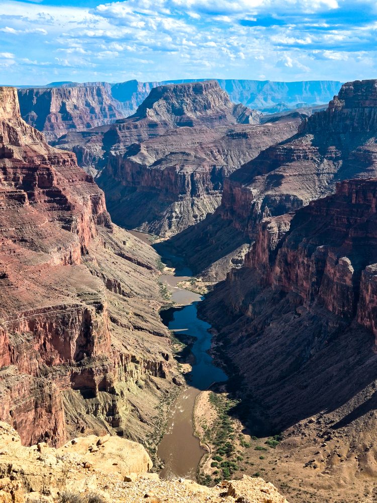
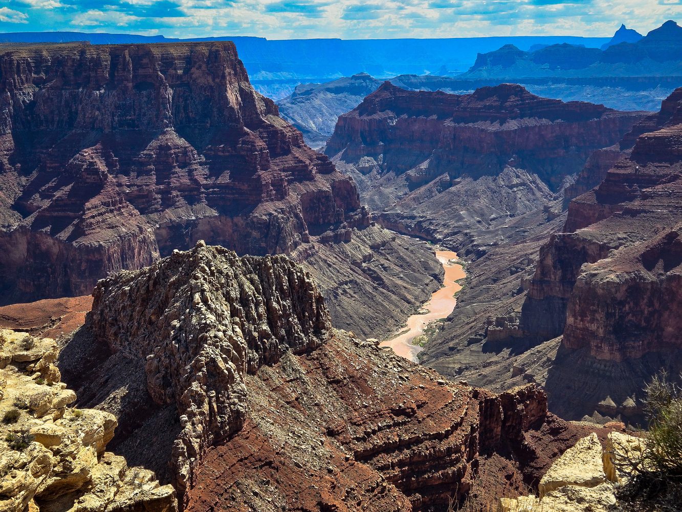
Confluence Overlook
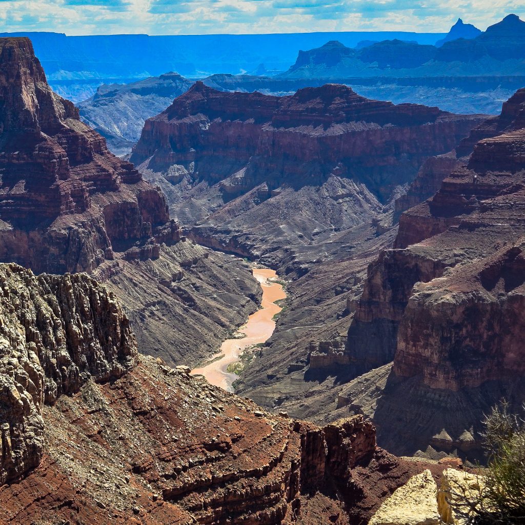
Where Marble Canyon ends and the Grand Canyon begins. Roughly 2,000 feet below, the Little Colorado enters from the east carrying mineral-rich water from Blue Spring, a bright turquoise against the darker Colorado. The two colors meet without mixing for some distance downstream. The confluence is sacred to the Navajo, Hopi, Zuni and Hualapai, and Hopi tradition places the emergence of their ancestors into this world in the gorge upstream. Reached only with a Navajo guide from Cedar Ridge.
Getting to the water
Most people arrive by raft on a multi-day trip from Lees Ferry, 40 minutes from Page. On foot, the Hopi Salt Trail drops from the gorge rim to the river, a steep unmaintained route long used as a Hopi pilgrimage to gather ceremonial salt. Navajo Nation backcountry permit required.
east rim tour companies
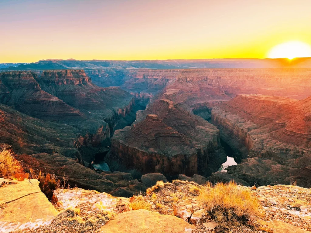
Jhani’s East Grand Canyon Tour
P:(928) 640-3865
Discover Tatahatso Point — a secluded East Grand Canyon viewpoint on sacred Navajo land, guided by local experts and far from mass tourism.
View Website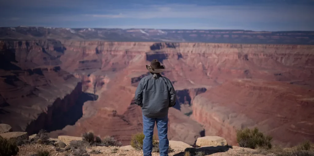
Further Down River – Little Colorado River Navajo Tribal Park
About 90 minutes south of Page, near Cameron on State Route 64. Small per person entry fee. National Park passes are not accepted. Open daily, 8:30 a.m. to 4:30 p.m.
Little Colorado River Gorge Overlook
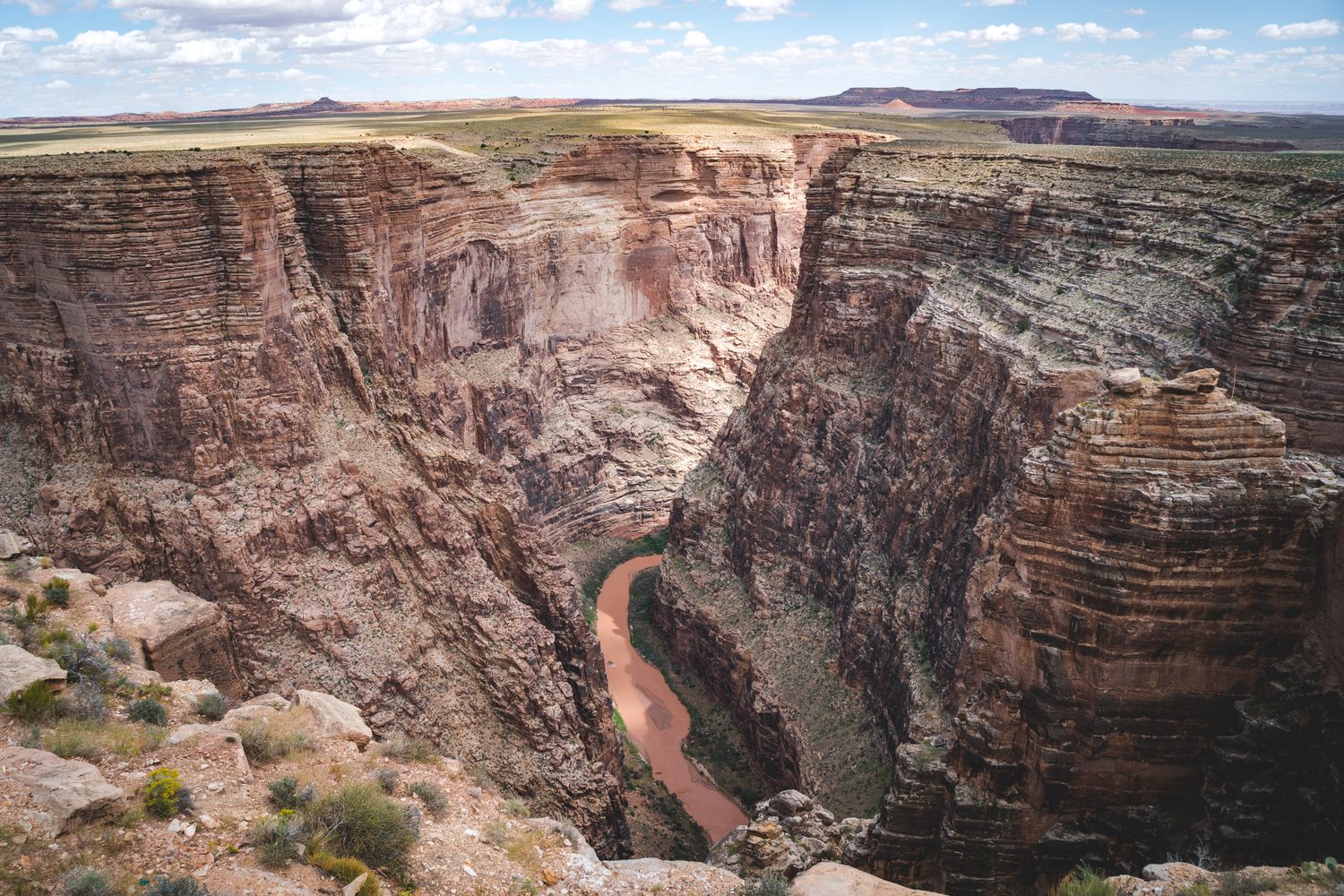
The most accessible major viewpoint in the region. The Little Colorado has cut a gorge here close to 3,000 feet deep and far narrower than it is deep. Railed viewing platforms are a short walk from the parking area, with interpretive panels on the geology and Diné history of the canyon. Navajo artists sell handmade jewelry and crafts at the shade stands.
Additional Little Colorado River Overlook
Five miles west of the gorge overlook, with a smaller lot and far fewer visitors. A half mile trail leads out to a promontory more than 1,000 feet above the riverbed, with long views both up and down the gorge and no railings at the edge. Part of Little Colorado River Navajo Tribal Park. Small per person entry fee, open daily 8:30 a.m. to 4:30 p.m., and National Park passes are not accepted.
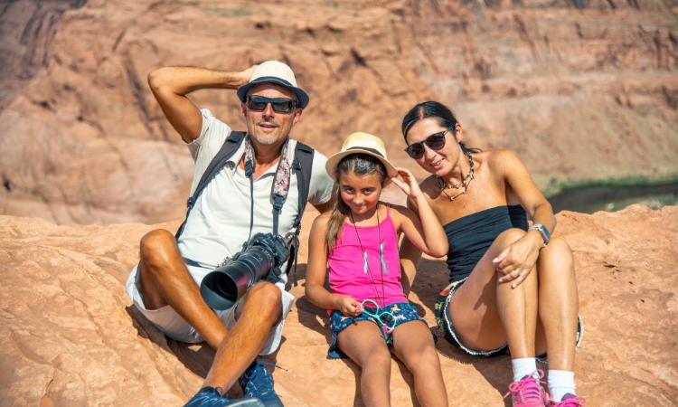
Plan Your Trip
Page is the base for all of it: lodging, fuel, groceries, guides and outfitters in one small town, with Horseshoe Bend, Antelope Canyon and Lake Powell at the doorstep.
Remember you are in the desert, so come prepared. Bring plenty of water, sun protection, and healthy snacks. Wear comfortable hiking clothing and footwear. Be mindful of the weather, and use good judgment. Temperatures can reach over 100°F / 37°C during summer months, and shade is limited. Avoid hiking during the hottest part of the day.
Search Lodging in Page, Arizona
Leave No Trace
Please respect the natural environment by following Leave No Trace principles.
